The general layout of the file is easy to use. They mix the inventory data with the temperatures, which takes some sorting out. For some reason, they give negative longitudes.
On station numbers, here is a plot of how they have varied since 1900. There is not much very recent data - it fades about 2007-8. This plot shows stations that reported at least once in each year.
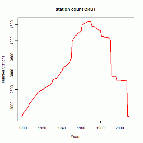
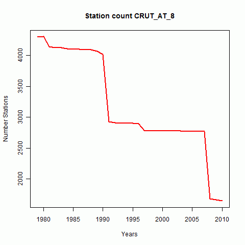
Heere is a graph showing recent data better. It is of course heavily influenced here by the GHCN history.
Now I'll show station maps from various perspectives. First a set of stations that have reported some time since 1900:
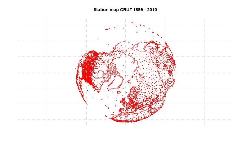
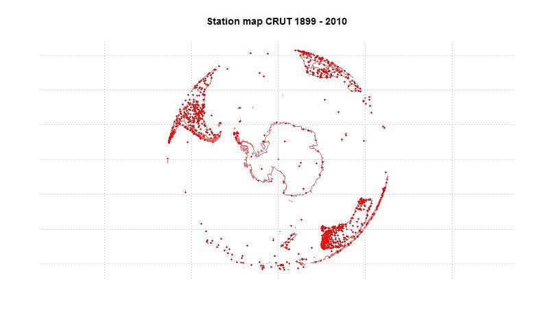
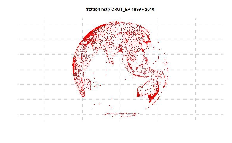
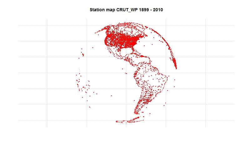
Now looking at stations that have reported since 2000:
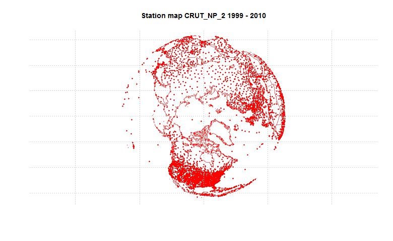
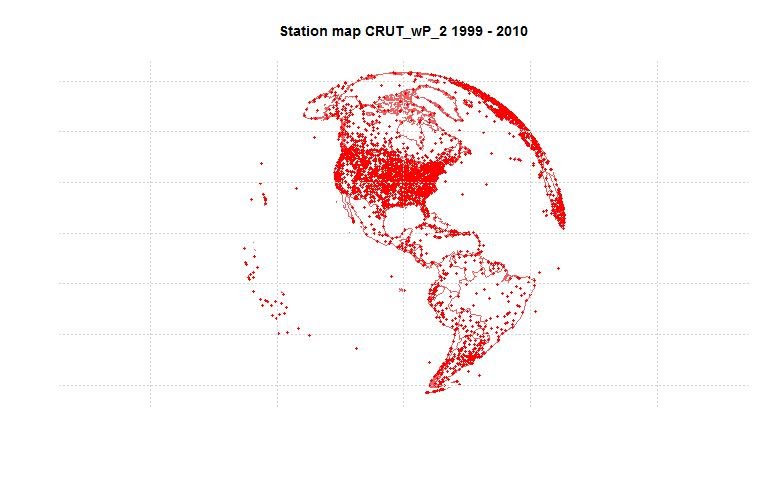
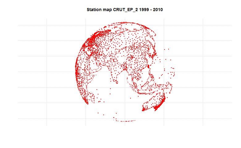
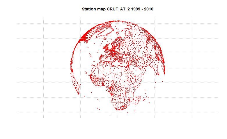
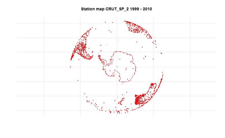
Finally, a look at station that have reported since 1980:
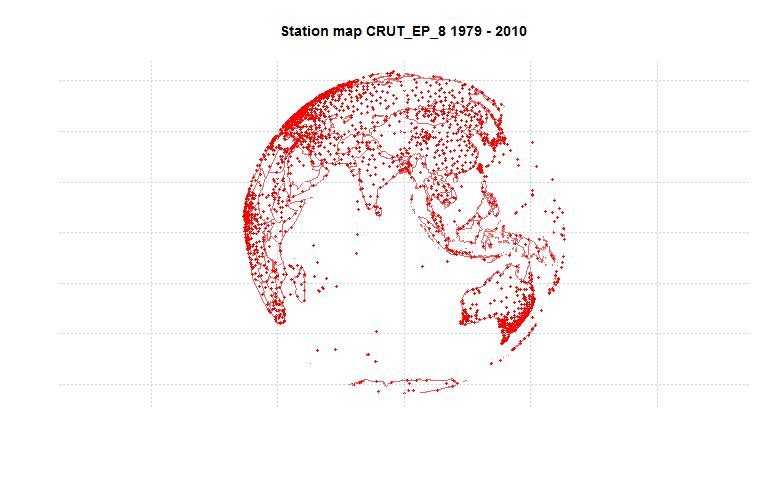
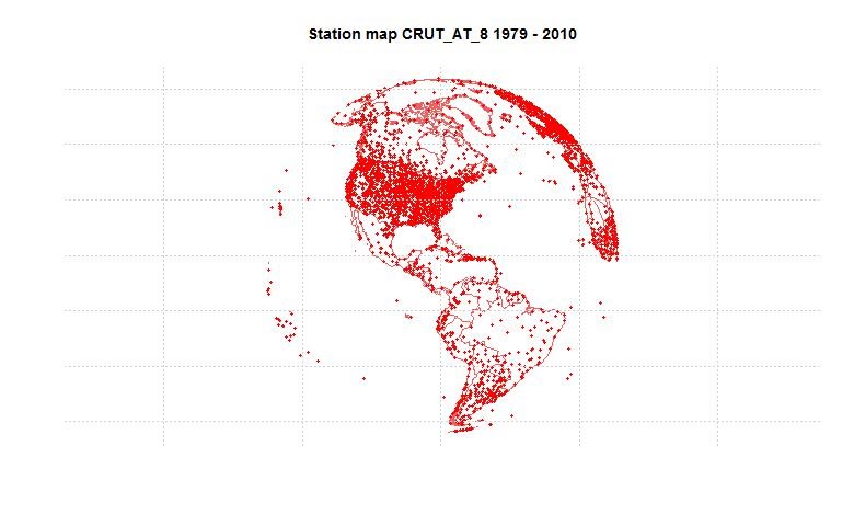
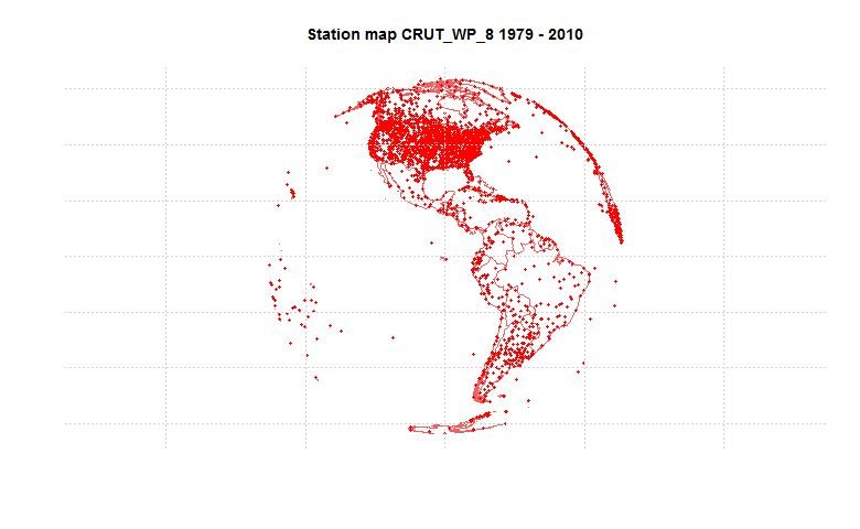


Pretty disappointed with Hadley's coverage in high latitude Canada. Could easily be supplemented by Environment Canada if someone would incorporate it.
ReplyDeleteRobert,
ReplyDeleteHere is the list of stations higher than 60 lat in Canada that have reported since 2000:
name wmo lat lon startyr endyr length
1 Norman Wells A 710430 65.3 -126.8 1943 2005 63
2 Sachs Harbour A 710510 72.0 -125.3 1955 2004 50
3 Fort Reliance 710730 62.7 -109.2 1948 2002 48
4 ISACHSEN 710740 78.8 -103.5 1949 2011 44
5 Hall Beach A 710810 68.8 -81.3 1957 2004 48
6 Alert 710820 82.5 -62.3 1950 2004 55
7 Clyde A 710900 70.5 -68.5 1942 2004 63
8 Dewar Lakes 710920 68.7 -71.2 1958 2003 38
9 Cape Dyer A 710940 66.6 -61.6 1959 2002 38
10 Pond Inlet A 710950 72.7 -78.0 1922 2005 82
11 Iqaluit A 719090 63.8 -68.5 1946 2004 59
12 Coral Harbour A 719150 64.2 -83.4 1933 2011 79
13 Eureka 719170 80.0 -85.9 1947 2011 65
14 ARCTIC BAY 719180 73.0 -85.2 1937 2002 35
15 Ennadai Lake 719230 61.1 -100.9 1949 2010 32
16 Resolute A 719240 74.7 -95.0 1947 2004 58
17 Cambridge Bay A 719250 69.1 -105.1 1929 2004 76
18 Baker Lake A 719260 64.3 -96.1 1946 2004 59
19 Hay River A 719350 60.8 -115.8 1895 2004 110
20 Coppermine A 719380 67.8 -115.1 1930 2005 76
21 Fort Simpson A 719460 61.8 -121.2 1895 2004 110
22 Inuvik A 719570 68.3 -133.5 1926 2004 79
23 Whitehorse A 719640 60.7 -135.1 1942 2011 70
24 Dawson A 719660 64.1 -139.1 1897 2011 115
I presume EC is the body that submits CLIMAT forms from Canada. I expect that CRUTEM, like GHCN, relies on those nowadays. As you'll see, there are 110 on this list.
There seems to have been an intermittent problem where EC submits the forms but without supplying the normals page for a number of stations. I don't know why that is. GHCN could calculate them themselves, but now that things have gotten legalistic, they insist that the submitting organisations take that responsibility.
So if there is a problem there, it's not clear who is at fault.
I hope you didn't trust the metadata.
ReplyDelete717990
End Year 2007
Actually data all -99 from 2001 to 2007
Anon,
ReplyDeleteNo, I didn't - I worked direct from the data file. And I'd rubbed out empty years. So:
name airpt urban country wmo mod lat lon alt startyr
Victoria Int A 71 717990 NA 48.7 -123.4 20 1940
endyr length
2000 61